Caminito del Rey: the king's path through the Gaitanes gorge
Ardales and Álora, Málaga//Activities/9 min read
A path built for a hydroelectric canal became the most feared walk in Spain, then a ticketed boardwalk that 329,560 people walked in 2024.
 Written with by Eduardo Peire
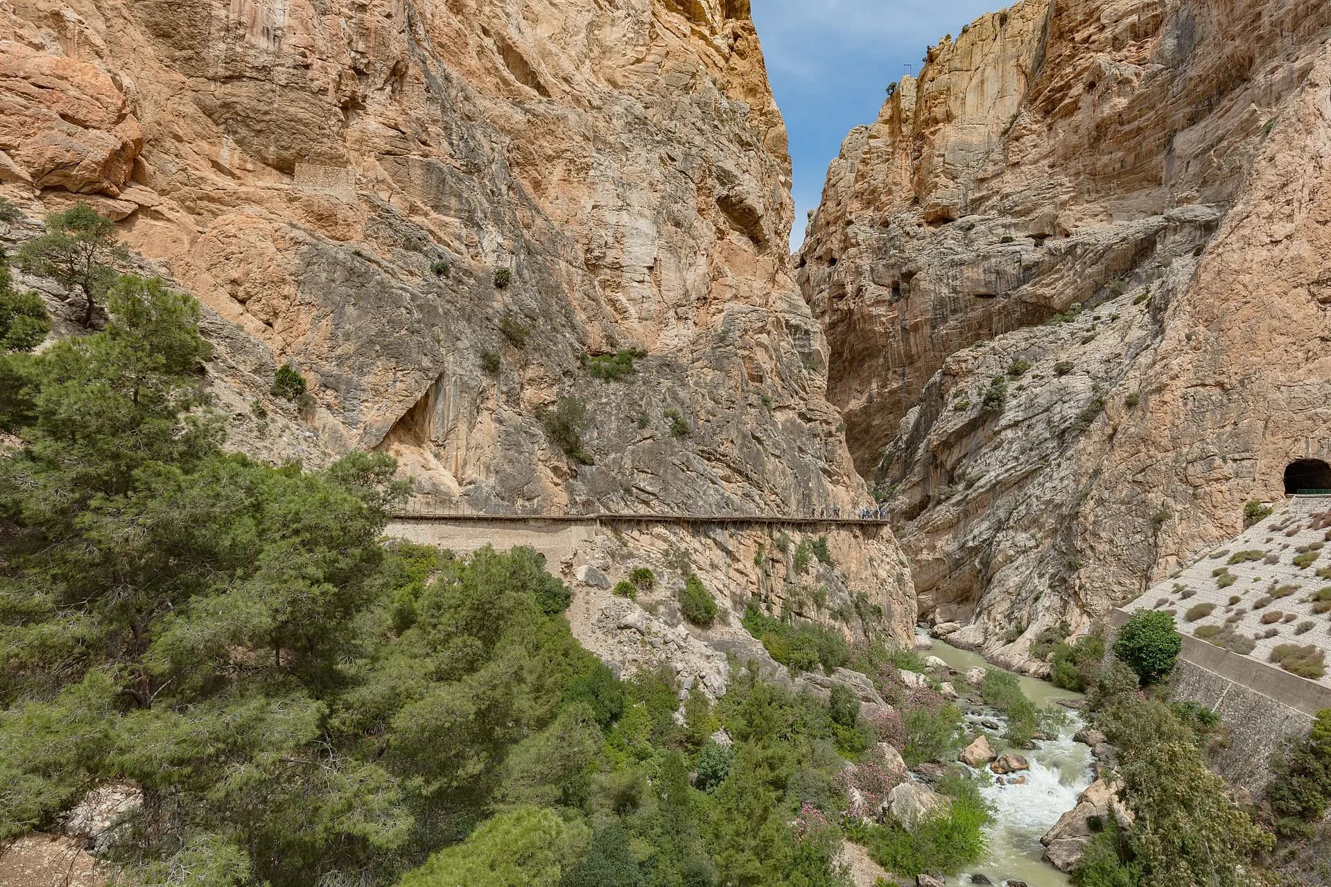
The Caminito del Rey is a path of boardwalks fixed to the walls of the Gaitanes gorge, in the middle of the province of Málaga, between Ardales and Álora. It was built in the first years of the twentieth century so that workers could reach a hydroelectric canal, it took its name from King Alfonso XIII, who crossed it in 1921, and it ended the century as the most feared path in Spain, closed and half demolished. Rebuilt above the old one and reopened in March 2015, it is now a one-way walk from north to south, with a timed ticket booked in advance, a helmet handed out at the gate and no children under eight.
It is less frightening than its reputation and busier than its photos. In 2024, 329,560 people walked it, according to the provincial council of Málaga, the Diputación, which owns it and runs it through a concession. More than half of them came from abroad.
Why was the Caminito del Rey built?
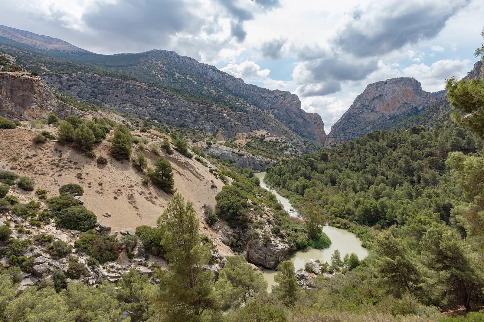
The gorge was a problem long before it was an attraction. The Guadalhorce river cuts through a ridge of Jurassic limestone here, between walls that rise about 300 metres and, at the narrowest point, stand less than ten metres apart. The railway from Córdoba to Málaga, finished in 1866, had to squeeze through the same gap, and it did so with tunnels and viaducts that trains still use.
The Loring family of Málaga had noticed while the railway was being built what the river's drop could do. They had a project drawn up to turn the fall of the Guadalhorce into electricity and obtained a licence in 1902, but it never got started. The engineer Rafael Benjumea Burín, who had married into the family, took it over and on 26 July 1903 founded the Sociedad Hidroeléctrica del Chorro. The plan was simple to draw and hard to build: take water at the narrows of Gaitanejo, run it along a canal dug and built into the side of the gorge, and drop it on to a power station at El Chorro. A canal hanging on a cliff needs people to clean it and mend it, and those people needed somewhere to stand. That somewhere, barely a metre wide and about a hundred metres above the river, is the path.
To carry the water across the last chasm, the engineer José Eugenio Ribera built an aqueduct bridge 35 metres long, wall to wall. The official history of the Caminito says the men who built it, some of them sailors, worked hanging 105 metres above the river. The first years went badly. On 24 September 1907 torrential rain burst a pipe and flooded the power station, and on 13 October 1908, just as it was about to restart, a transformer caught fire. To pay for the repairs, Benjumea gave up the farmland he had inherited from his father, and his in-laws, the Lorings, mortgaged their country house of La Concepción, which is now Málaga's historic botanical garden.
The king's walk of 1921
The flood of 1907 also hit the city of Málaga, and it made the case for a dam that could tame the Guadalhorce. It took years. The dam was moved after a geological survey, redesigned and raised to 50 metres, with room for 80 cubic hectometres of water. On 21 May 1921, in torrential rain, King Alfonso XIII came to lay its last stone. To get there he walked the service path along the canal, and people began to call it the Caminito del Rey, the king's little path. Benjumea was made Count of Guadalhorce, and the dam has carried his title since 1953.
The path was never only for engineers. Some of the men who built the dam stayed on, and El Chorro had many families living in caves turned into homes. The Caminito became their road. According to the official history, children walked it to school, women to buy food and men to the canteen, some crossed it by bicycle or on horseback, and it had electric light at night.
How it became the most dangerous path in Spain
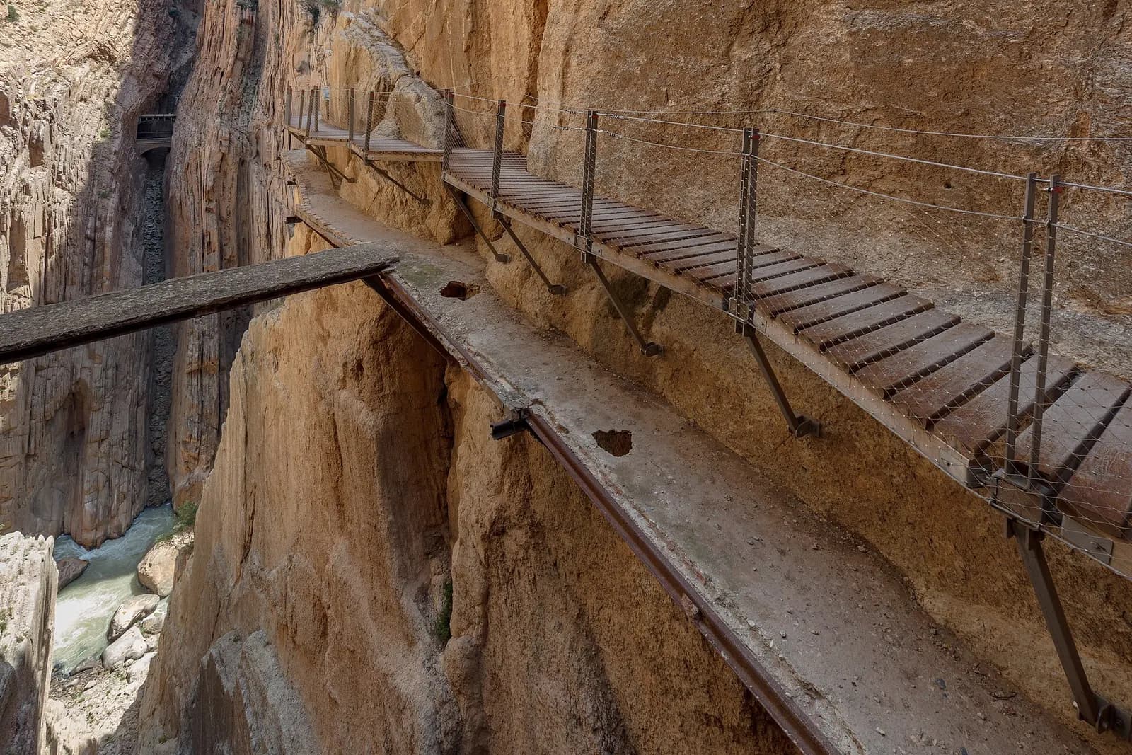
Over the decades the path was left to rot. The concrete crumbled, handrails disappeared and in places only the steel beams were left. Meanwhile El Chorro became, in the official site's words, one of the most important climbing areas in Europe, and climbers used the broken path to reach the walls. Walkers followed. Videos of people edging along bare beams above the drop made its name around the world as the most dangerous path anywhere.
In 1999 and 2000 four hikers died there. The regional government, the Junta de Andalucía, closed the path and demolished its first section so that nobody could get on to it. People kept trying. Next to the hanging bridge today there are plaques to people who died in the gorge before 2015, hung there at their families' request, and in the last gorge a smaller one remembers a young Swiss climber killed in 2010. The official history still warns of a 6,000 euro fine for anyone who climbs over a closed access point or walks in through the railway tunnels.
The new path above the old one
The Diputación awarded the rebuilding contract in February 2014, and the new Caminito opened on 28 March 2015. The boardwalk is the third that has been fixed to these walls. It runs just above the second one, so for long stretches the old concrete and iron are in view below your feet, crumbling as they were left. The floorboards are engraved with the distance walked, and the last one, at the southern gate, says 3,200 metres.
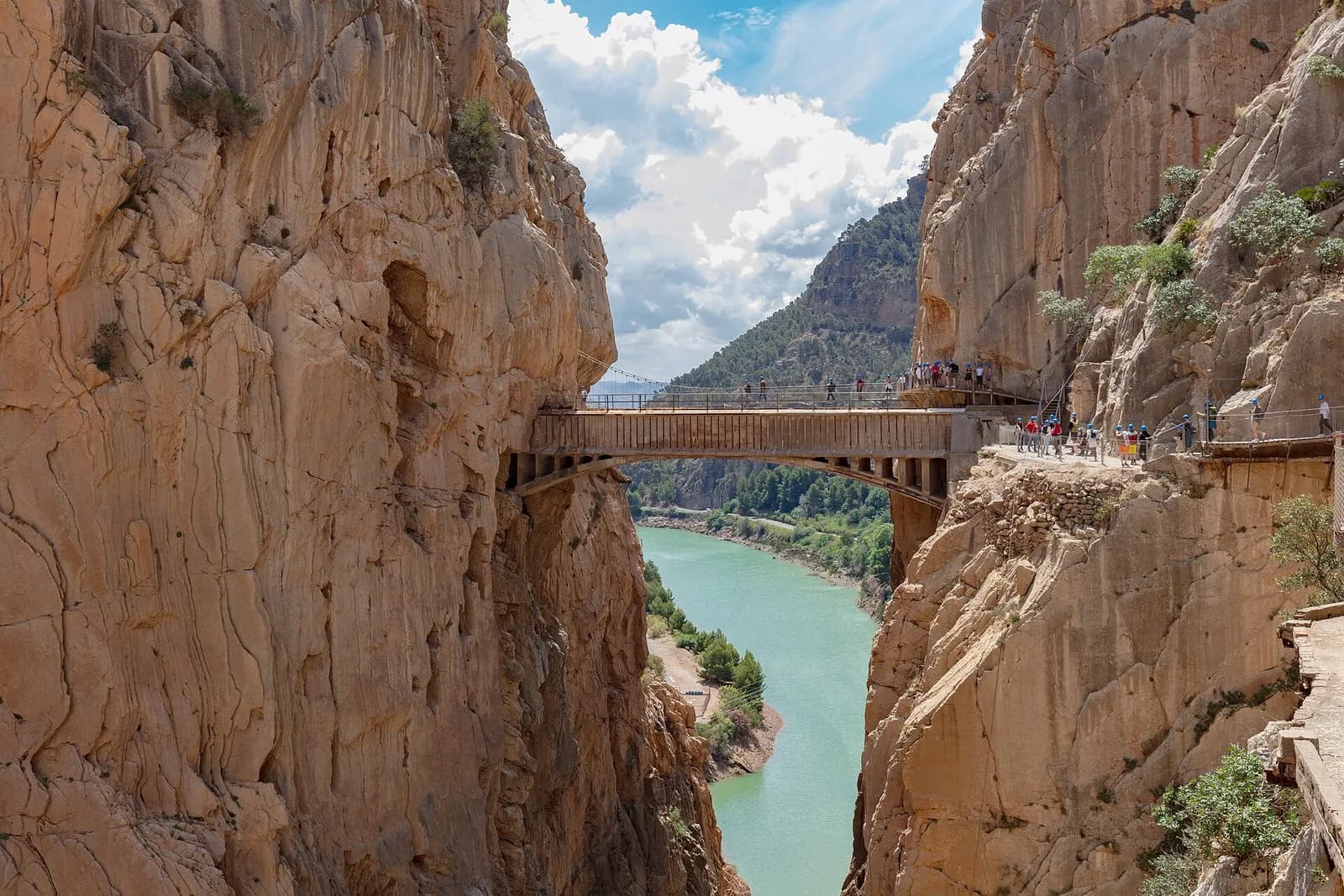
Between the gorges the walls open into the Valle del Hoyo, a wide valley where the path runs on the ground among pines beside the river. In the last gorge, the Desfiladero de los Gaitanes, the route passes a juniper that has grown out of the bare rock for centuries, a glass balcony at the 2,690 metre mark, the print of an ammonite under a clear plate, and then the hanging bridge: a metal grid floor 35 metres long, about 105 metres above the river, built in 2015 alongside Ribera's aqueduct so that nobody would have to use the old one. Look up there for vultures. There is a colony on the cliffs, and the route guide also lists peregrine falcons and Bonelli's eagles, ibex at sunset and, for the lucky, an otter. The canal itself was restored and reopened in 2017 as a sheltered way through on days when rain or wind brings stones down.
The numbers rose fast. The ten-year report of the Diputación counts more than 304,000 visitors in the first year and about 2.9 million between the opening and March 2025. It also finds almost no low season: the path runs close to its capacity all year, and the quieter months are November to February and the days lost to rain. Visitors from the United Kingdom make up 11 per cent of the total, Ireland 4, Belgium, Finland and Norway 2.3 each, Denmark 2.2 and Sweden 0.9.
What changed in 2026
The rules were rewritten in a decree of the Diputación dated 6 May 2026. A month later, on 10 June, a suspension footbridge 110 metres long opened near the end of the route. It hangs up to 50 metres above the ground, cost 1.5 million euros paid out of the Caminito's own takings, and follows a geological study by the universities of Granada and Jaén that recommended another way down. According to El Español, it spares walkers a steep descent of almost a kilometre at the end, and the old way stays open.
Bigger changes are planned. In March 2026 the Diputación approved the study for a new ten-year concession from 2027, with 12.21 million euros of works, a cap of 1,500 visitors a day and guided visits rising to 70 per cent of the total, for safety reasons. El Español reported that the study also proposes a first price rise of 20 per cent. In June 2026 the conservation group Hispania Nostra put Ribera's aqueduct on its Red List of heritage in danger, for its carbonated concrete and badly rusted steel. The new concession sets aside 594,500 euros plus VAT to restore it, although the Diputación says the bridge is not its property.
The Diputación is also promoting a bid for UNESCO World Heritage, built around the hydroelectric works. It joins the gorge, the dams, the walkways, the station and the railway bridges of El Chorro with three much older places within 20 kilometres: the Palaeolithic cave of Ardales, the prehistoric necropolis of Las Aguilillas and the Mozarabic church cut into the rock at Bobastro.
How do Caminito del Rey tickets work?
Book on the official website, which is the only official sales channel. A general ticket costs 10 euros and a guided visit 18 euros, in Spanish or English. The path opens Tuesday to Sunday, plus a few special Mondays the site announces, and closes on 24, 25 and 31 December and 1 January. The official timetable runs from 9:00 until 14:50 or 17:20, depending on the season.
The walk starts at the north entrance, near Ardales, and ends in the village of El Chorro, in Álora. The whole route is 7.7 kilometres and takes three to four hours, approach paths included. You have to be at the entrance gate 30 minutes before your slot, and the gate is about 25 minutes from the road by the Conde de Guadalhorce reservoir on the short approach path (1.5 kilometres, through a tunnel) or about 50 minutes on the long one (2.7 kilometres). The boardwalks and the exit path down to El Chorro take an hour and a half to two hours. A shuttle bus, not run by the Caminito, links El Chorro and the north entrance from 7:40 to 19:00 for 2.50 euros, paid online with your ticket or in cash to the driver. Parking at the Visitors' Reception Centre costs 2 euros a day, and regional trains stop at El Chorro.
The compulsory rules are strict and they are enforced:
- No children under eight. Visitors from 8 to 17 need an adult and an identity document.
- Hiking shoes held firmly at the heel. No flip-flops or high heels.
- No large backpacks, walking sticks, crutches, wheelchairs, prams, selfie sticks, tripods, umbrellas, drones, animals, smoking or alcohol.
- Wear the safety equipment from the gate to the exit, keep to the right and never clip on to the safety cable.
- No swimming, no leaving the path in the Valle del Hoyo, and, according to the list of prohibitions, no undressing, taking your shoes off or lying down.
Strong wind or heavy rain closes the path, and tickets for a day closed by the weather can be moved to another date, subject to availability. Otherwise there are no changes or refunds. Check the website on the morning of the visit. Climbers with a valid federation card get in free, but only to climb the walls authorised by the regional environment department, entering at the first slot and leaving before closing; they may not climb over the fence or use the boardwalk as an anchor.
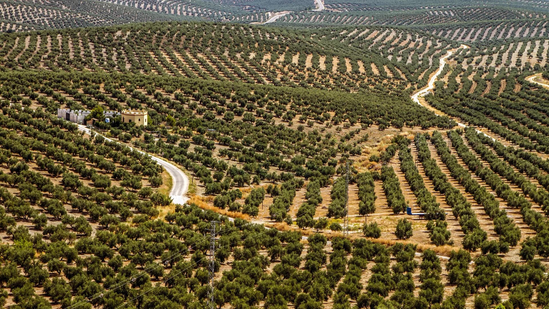
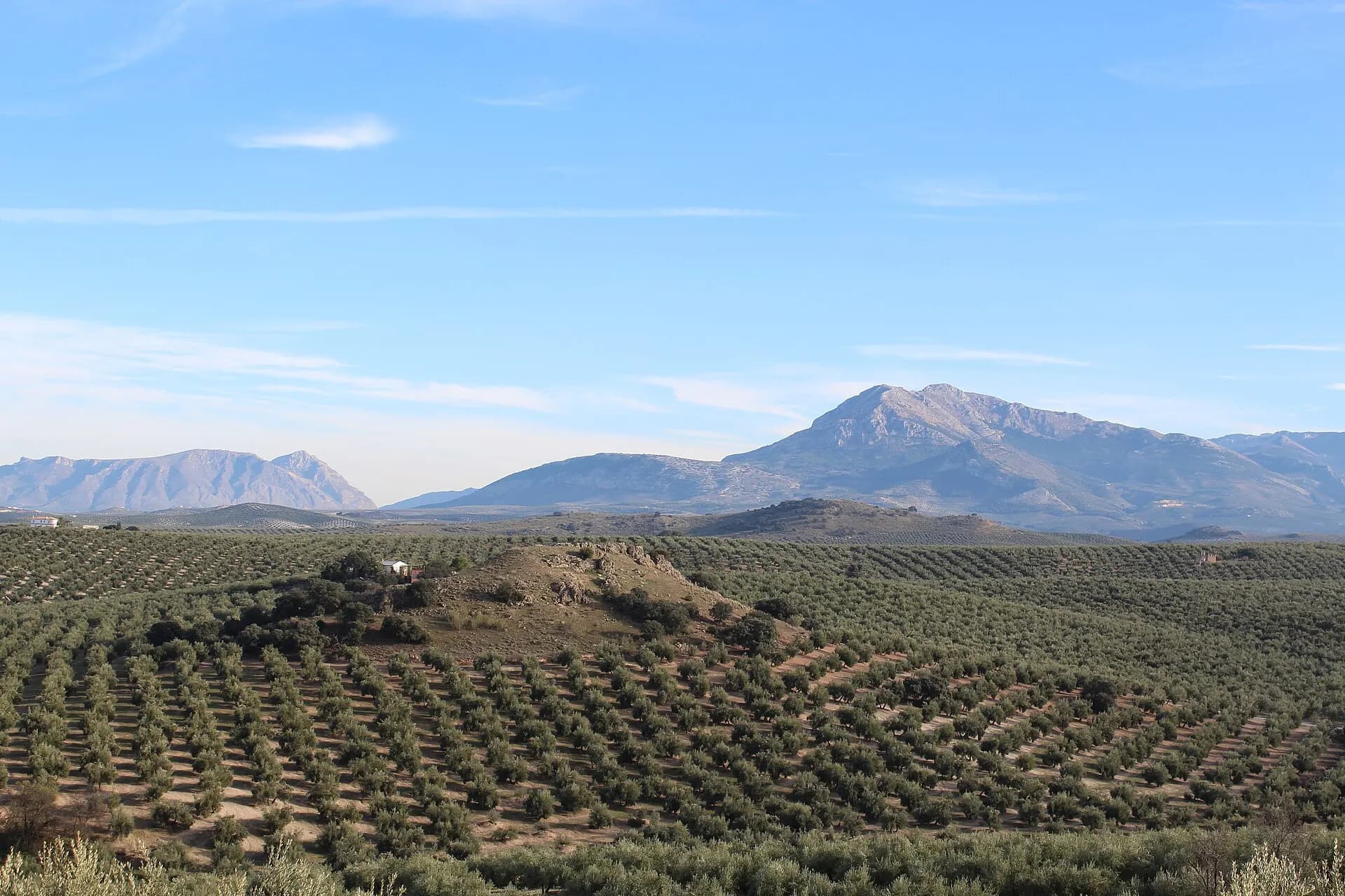
For walking, the official route guide recommends March and April, when the flowers are out and the birds are busy. Summer in inland Málaga is hot, so take the earliest slot you can get. On 2 August 2027 the total solar eclipse crosses the south of Andalucía. More of the province is in our pages on Málaga and Andalucía, and in winter the olive harvest is on further east, in Jaén.
The marble plaque at the entrance says the restored Caminito opened on 26 March 2015. It opened on the 28th: a Germanwings airliner had crashed in the Alps that week with 150 people on board, three days of mourning were declared, and the plaque was already carved.
Questions
- How long does the Caminito del Rey take?
- The official site gives 7.7 kilometres and three to four hours for the whole visit, approach paths included. The boardwalks and the exit path down to El Chorro take about an hour and a half to two hours, and you must be at the north gate 30 minutes before the time on your ticket.
- Is the Caminito del Rey dangerous?
- Not since the rebuild of 2015, for anyone who follows the rules. The boardwalk has railings and a safety cable, everyone wears a helmet, and the path closes in strong wind or heavy rain. The drops are real: much of the route is about a hundred metres above the river, with a glass balcony and a hanging bridge with a grid floor. Before the rebuild, four hikers died there in 1999 and 2000.
- How much is a Caminito del Rey ticket and where do you buy it?
- A general ticket costs 10 euros and a guided visit 18 euros, booked on caminitodelrey.info, the only official sales channel. The shuttle bus between El Chorro and the north entrance costs 2.50 euros and parking at the Visitors' Reception Centre 2 euros a day. A new concession starts in 2027, and its study proposes higher prices.
- Can children or dogs go on the Caminito del Rey?
- Children under eight cannot go. Visitors from 8 to 17 must be with an adult and carry an identity document. Animals are not allowed, and neither are prams, wheelchairs, walking sticks or large backpacks, because on narrow boardwalks they get in other people's way.
- When is the Caminito del Rey closed?
- On Mondays, apart from a few special Mondays the site announces, on 24, 25 and 31 December and 1 January, and on any day when wind or rain makes it unsafe. Tickets for a day closed by the weather can be moved to another date, subject to availability; otherwise there are no changes or refunds.
- Which way do you walk the Caminito del Rey?
- One way only, from north to south: from the entrance near Ardales to the village of El Chorro, in Álora. It is not a loop, so most people park at the Visitors' Reception Centre and use the shuttle bus, which runs between El Chorro and the north entrance. Regional trains also stop at El Chorro.